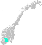
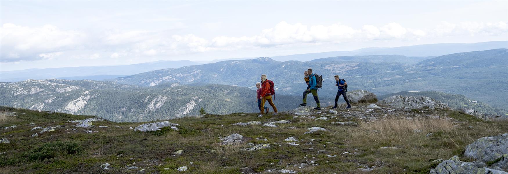
Lifjell has a varied landscape of high peaks and deep dales, lakes rich in fish and wild river gorges. Most of the mountains here are rounded in shape (called “natt” in the local dialect), but there are also some steep-sided peaks. The hiking trails vary in lenght and level of difficulty, and are equally suitable for experienced hikers as well as for families with children. Maps and traildescriptions of the Lifjell area are available in Bø, and most of the hiking trails are well marked and signposted.
From the summits at Lifjelltop, on a clear day, you can see all the way to Mount Gaustatoppen and the Hardangervidda Plateau in the north, and far out in the sea to the south and east. You can also enjoy panoramic views across central Telemark with its beautiful agricultural landscape of wide, open fields.
The trails at Lifjell are accessible from May/June and towards the end of October. This can vary from one year to another, and depends mainly on how early/late the snow melts in the spring and how early/late the snow starts to fall in the autumn.
Please note that you find numerous lakes that are perfect for trout fishing at Lifjell. You can buy a fishing permit at the store Brukås Sport in Bø (located at Bøgata 56), or by following this link to the digital solution inatur.no
If you want hiking experiences in the lowlands, you will also find good hiking opportunities in Bø and the surrounding area. We can recommend idyllic walks along the Telemark Canal, the Bø River or passing through the Fruktbyda Village.